Aerial & Drone Photography in King of Prussia, PA
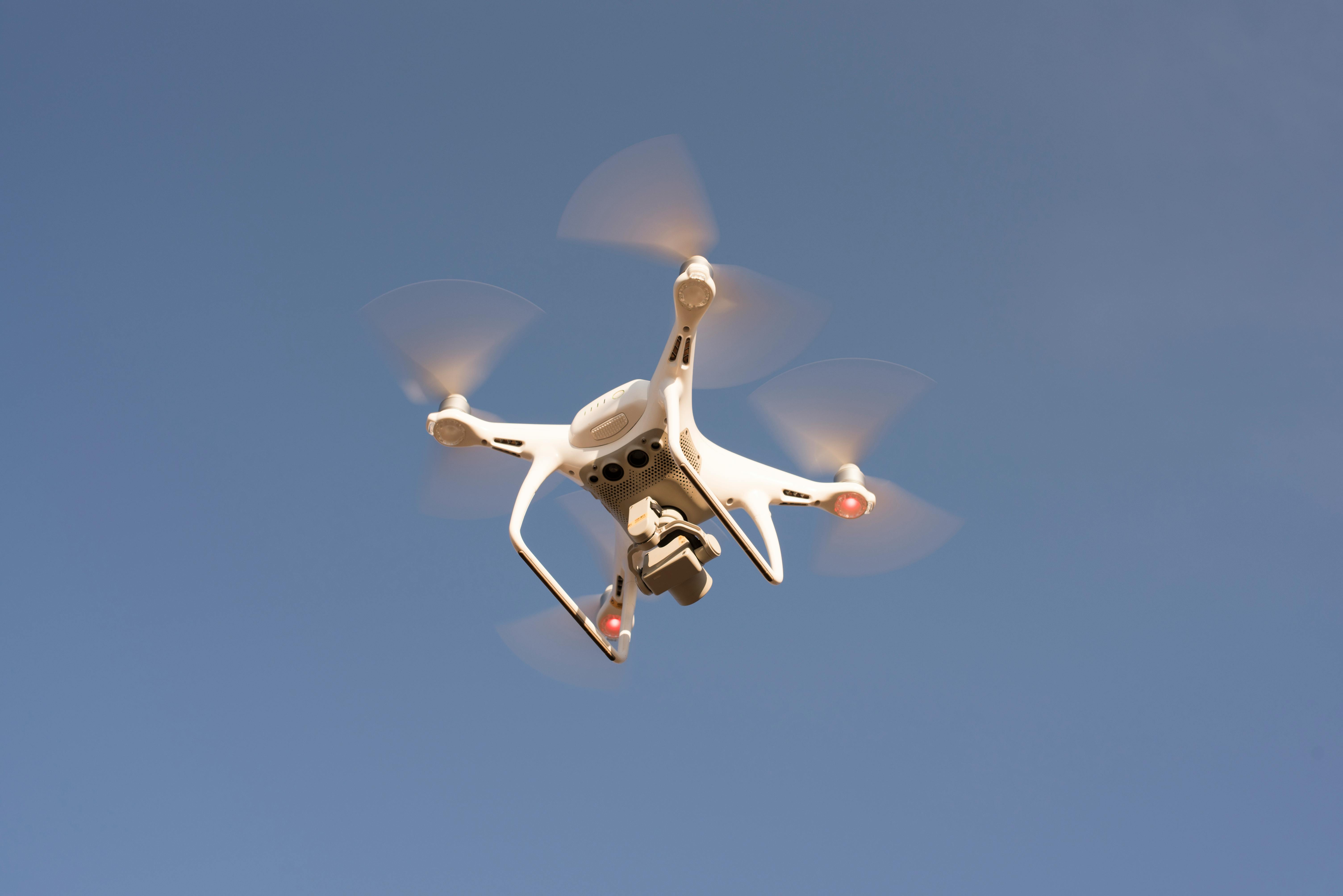
FAA Part 107-certified drone photography showing the property, grounds, lot size, and surrounding neighbourhood from above — perspectives impossible to capture from the ground.
Aerial photography answers questions that ground-level photos cannot: How large is the lot? What does the property look like in relation to its surroundings? Is it near a park, water, or amenity that adds value? For acreage properties, waterfront homes, properties with significant grounds, or new construction, aerial photography is not an add-on — it is essential.
All Cloudpire drone operations are conducted by FAA Part 107-certified pilots, fully insured, and conducted in compliance with local airspace regulations. We handle all airspace authorisation requirements — you do not need to think about it. In restricted airspace areas, we obtain LAANC authorisation before every flight.
Aerial photography is most frequently added to listing packages for properties with notable outdoor features, significant lot size, waterfront or water-adjacent locations, or new construction where showing the site in context is important.
What is Included
How It Works
Airspace Check
We confirm airspace classification and obtain any required authorisations before the shoot date — no surprises on the day.
Ground and Air Photography
We conduct ground photography and aerial operations in the same visit for maximum efficiency.
Processing and Matching
Aerial images are edited to match the ground-level photography style and colour profile.
Combined Delivery
Ground and aerial images delivered together within 24 hours.
How Bookings Work
Simple, fast, and transparent — from booking to delivery.
Book Online or by Phone
Tell us the property address, shoot type, and your preferred date. We confirm within 2 hours.
We Arrive and Shoot
Our photographer arrives on time, prepared, and equipped. A standard residential shoot takes 60–90 minutes.
Delivered in 24 Hours
Edited photos and media delivered to your Dropbox or Google Drive within 24 hours of the shoot.
Frequently Asked Questions
Not automatically. Airspace classification, proximity to airports, and local municipality rules all affect where and when drone photography can legally be conducted. We check and obtain all required authorisations for every property — this is included in our service and there is no additional cost to you.
Yes. We combine ground and aerial photography in a single property visit wherever airspace permits — maximising efficiency and ensuring consistent lighting conditions across both.
Yes. All Cloudpire drone operations are conducted by FAA Part 107-certified pilots carrying appropriate commercial drone insurance. Full documentation available on request.
Related Services
Ready to Elevate Your Listing?
Book your shoot today. Most shoots delivered within 24 hours. Serving agents, homeowners, and developers across Greater Philadelphia.