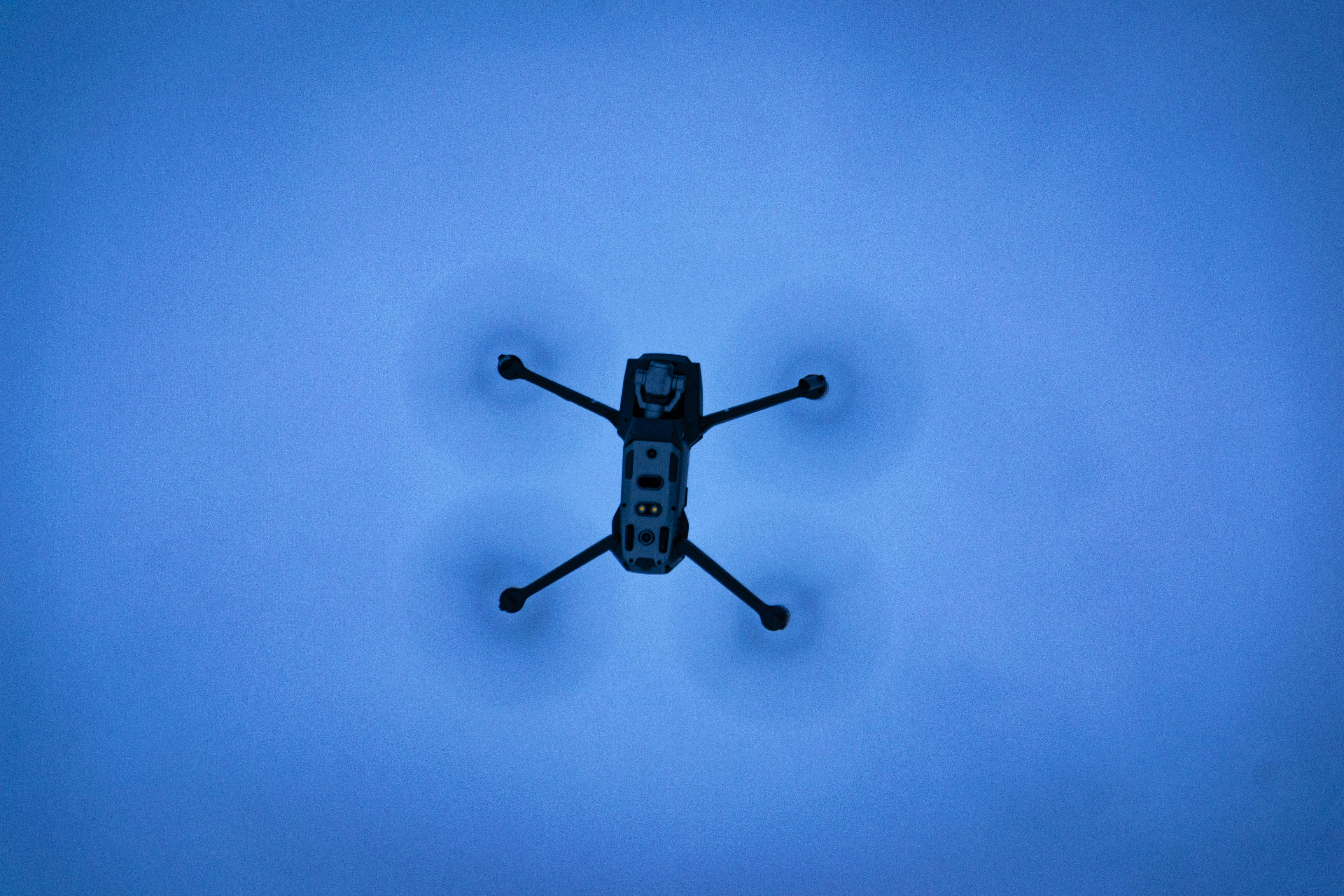
Drone photography adds complexity and cost to a listing shoot. Whether it adds value depends on the specific property, location, and listing situation. Here is an honest assessment rather than a blanket recommendation.
When Aerial Photography Is Clearly Worth It
Properties with significant outdoor space or acreage. A half-acre or larger lot in Chester or Montgomery County is genuinely difficult to convey from the ground. Aerial photography shows the full scope of the property, the relationship between the house and the grounds, and any outdoor features that ground photography minimises. For these properties, aerial is not an add-on — it is necessary to represent the property accurately.
Waterfront and water-adjacent properties. Any home near a pond, lake, creek, or reservoir benefits enormously from aerial photography. The water feature is typically a primary value driver, and ground-level photography often fails to show the relationship between the home and the water as effectively as an aerial shot from 100–200 feet.
Properties where the neighbourhood context is a selling point. A home near a park, golf course, nature preserve, or desirable walkable area benefits from aerial shots that establish this context visually. Buyers who have never visited the area benefit particularly from seeing what surrounds the property.
New construction and development. Builders and developers use aerial photography to show site progress, completed properties in context, and the relationship between units in multi-home developments. Aerial is standard practice in new construction marketing.
When Aerial Photography Is Not Worth It
Standard suburban lots in established neighbourhoods. A 0.2-acre suburban lot in a typical King of Prussia or Conshohocken neighbourhood offers limited additional information from the air that ground photography does not already convey. The aerial image shows the roof and the neighbouring properties — neither of which is a selling point.
Properties in restricted airspace. Several areas of Greater Philadelphia — particularly near Philadelphia International Airport and Philadelphia Northeast Airport — fall under airspace restrictions that require specific LAANC authorisation. While we handle this, it adds complexity and occasional scheduling constraints. In highly restricted zones, aerial photography may not be feasible at all.
The Honest Recommendation
If you are unsure whether your property warrants aerial photography, share the address with us. We will give you an honest assessment based on the property characteristics, lot size, and any nearby features that aerial photography would meaningfully capture.
Ready to book a shoot?
24-hour delivery. Greater Philadelphia. Agents, homeowners, and developers welcome.